• The automated information system of the state urban cadastre baseline Aral district of Kyzylorda region

    AIS SUC RK is designed to provide state agencies, local governments, individuals and legal entities of the Republic of Kazakhstan with the necessary information.

    Customer: State institution "Department of Architecture and Urban Planning of Kyzylorda region"

Company

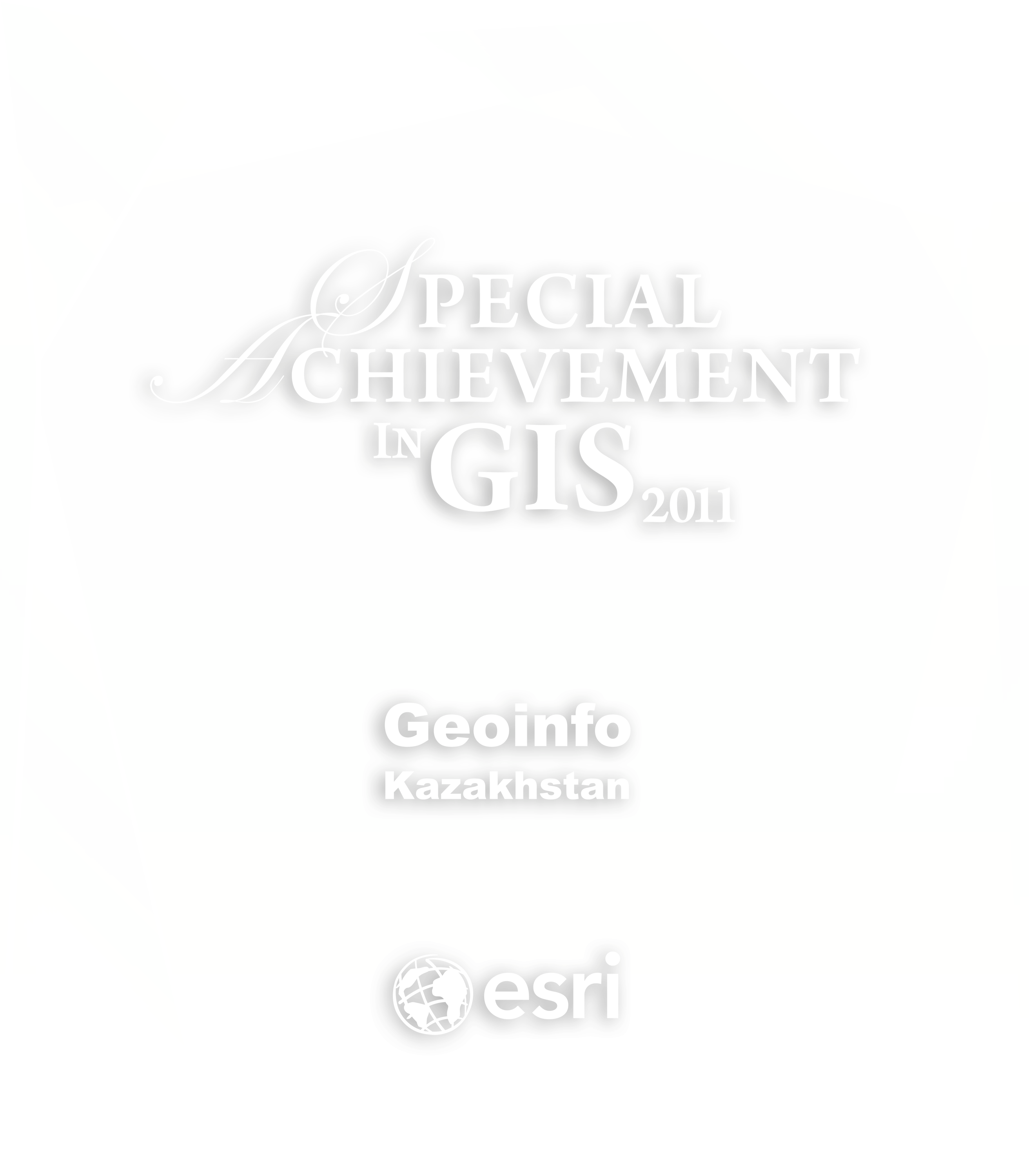
«Geoinfo» company – one of the biggest company in Kazakhstan, that works with geoinformation technologies. Our company operates in the market of geographic information system and services of Kazakhstan since 2007.

The main activities are:
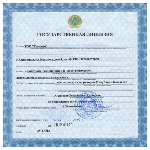
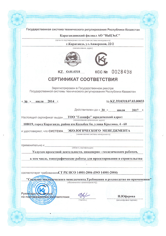
the development of applications of geoinformation systems, automated information system of urban, kand, water and other cadastres; design and development digital thematic maps, data analysis and visualization; providing a range of services in the field of geodesy and land management.

We work with the development and support of software products based on GIS technology using complex ArcGIS software of ESRI company, CAD AutoCAD of AutoDESK company and others.

Since 2007 our company has completed more than 50 major projects in the field of geoinformation technologies, automated information systems. mapping and geodesy.

Licenses and Certificates
28

During the existence of company our employees have received many certificates confirming their skills and ability to work with the appropriate software. Among them, the award "for outstanding achievements in the field of GIS technology", which our company was awarded in 2011 at the International Conference ArcGIS users in San Diego (USA).

Team

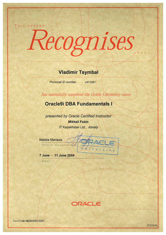
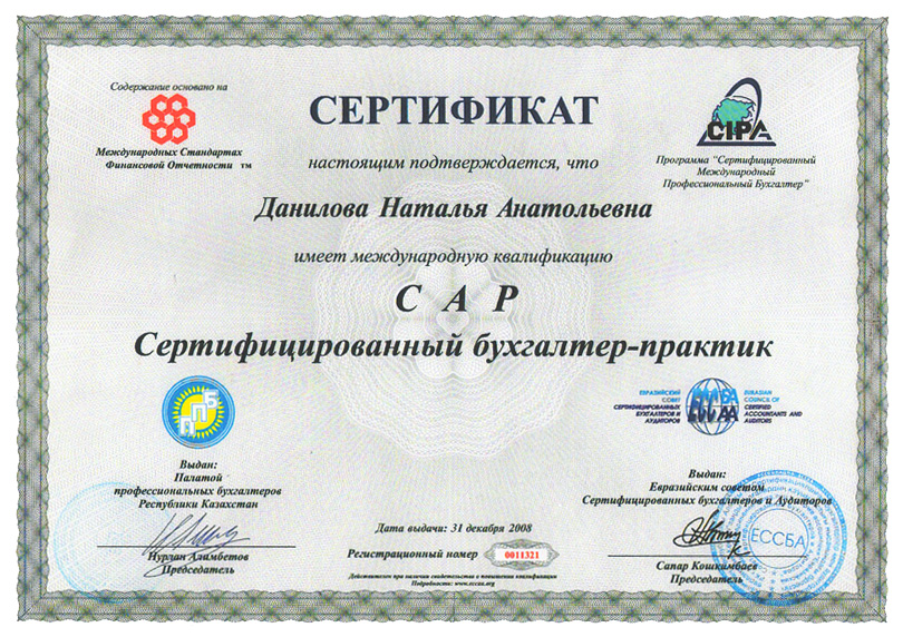
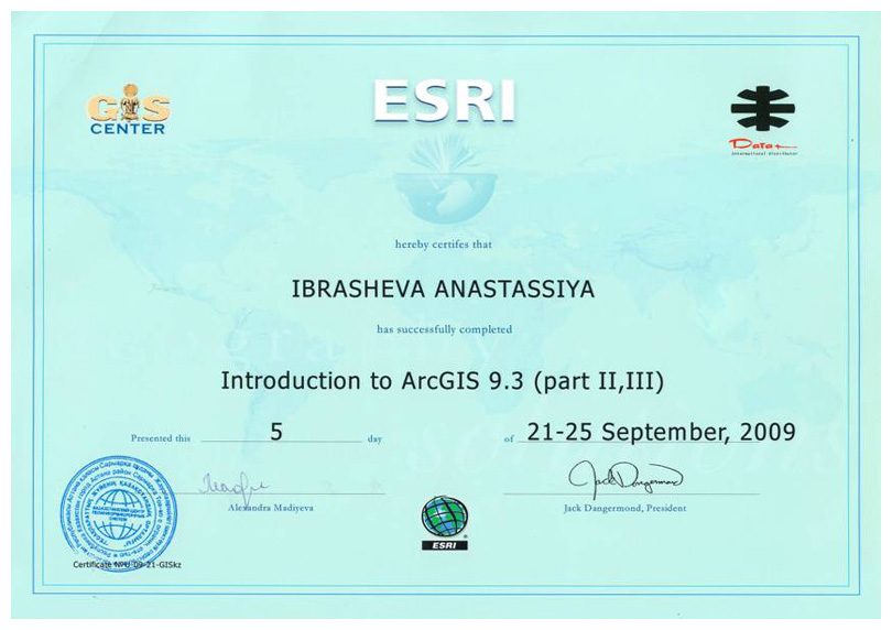
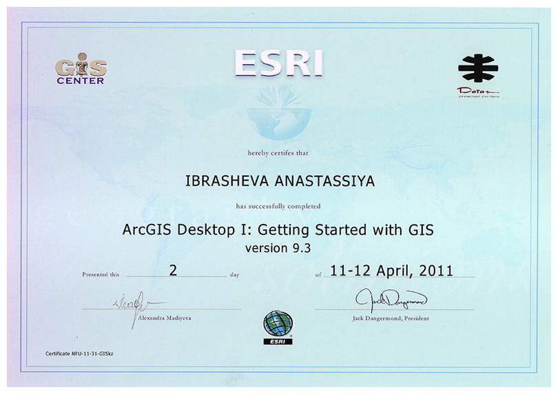
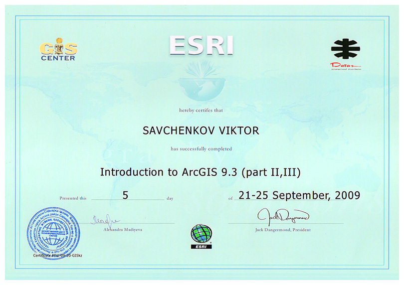
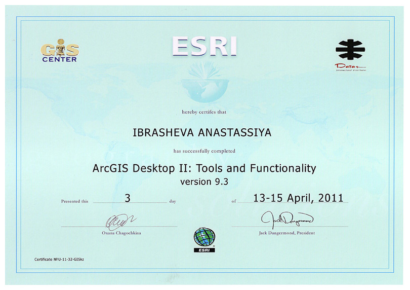
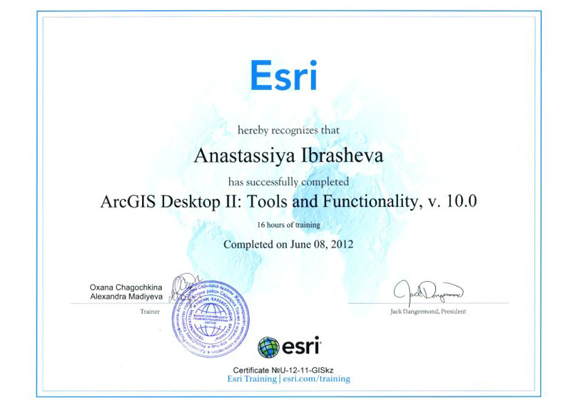
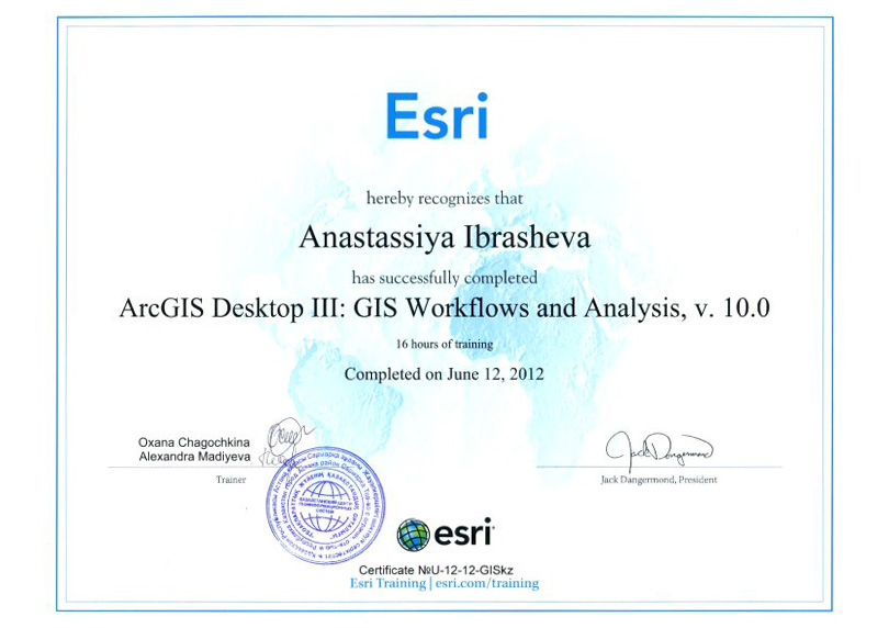
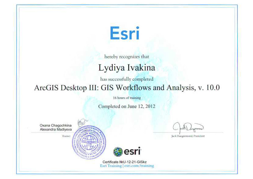
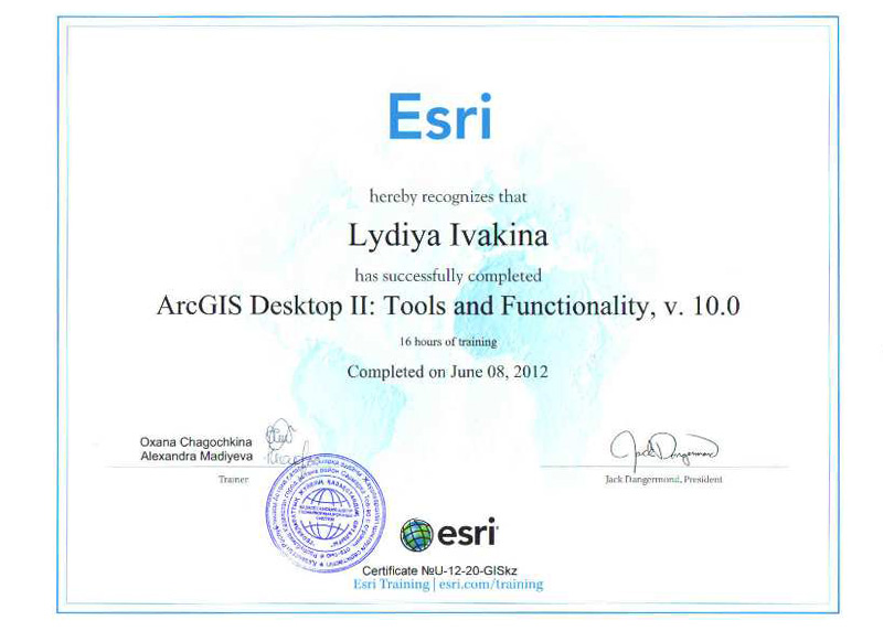
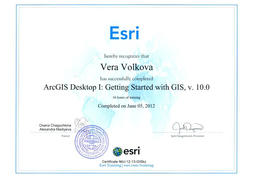
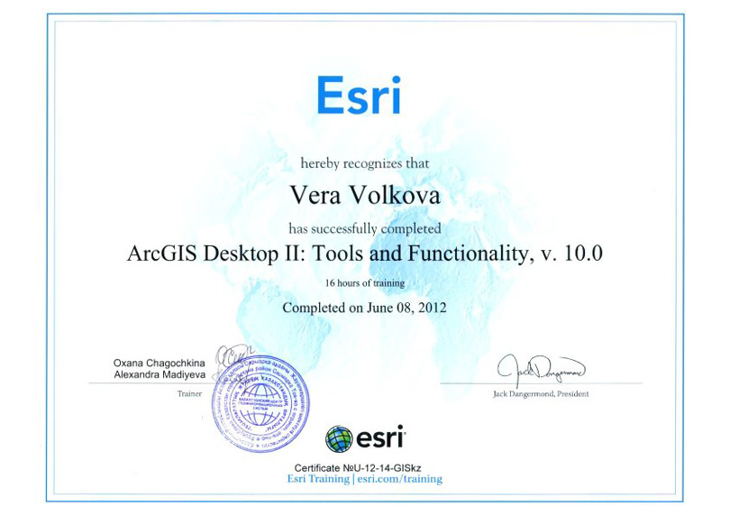
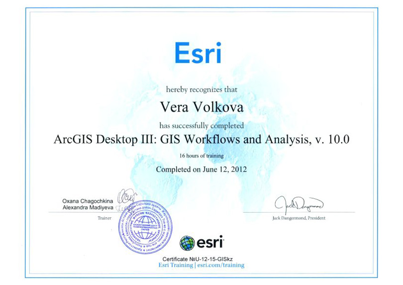
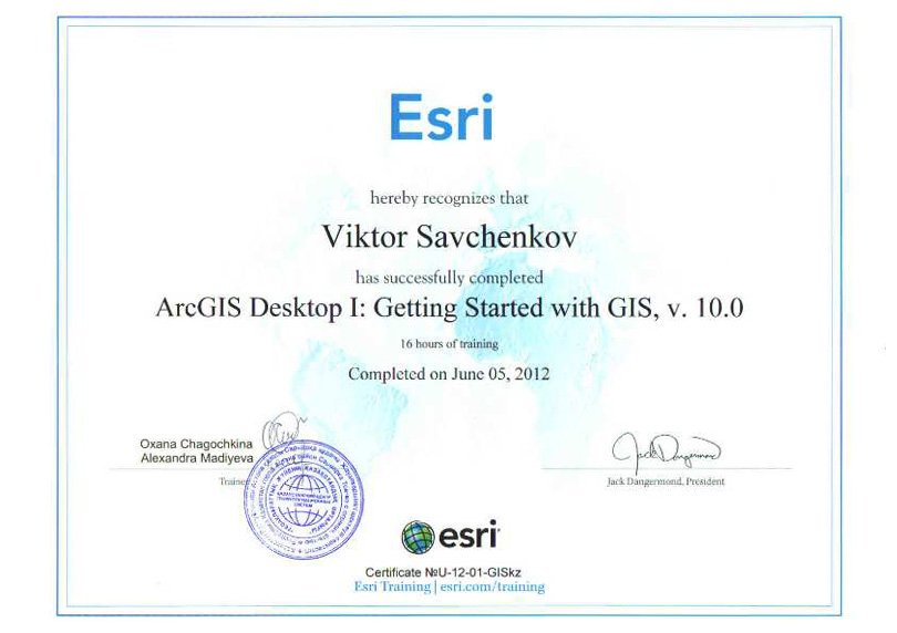
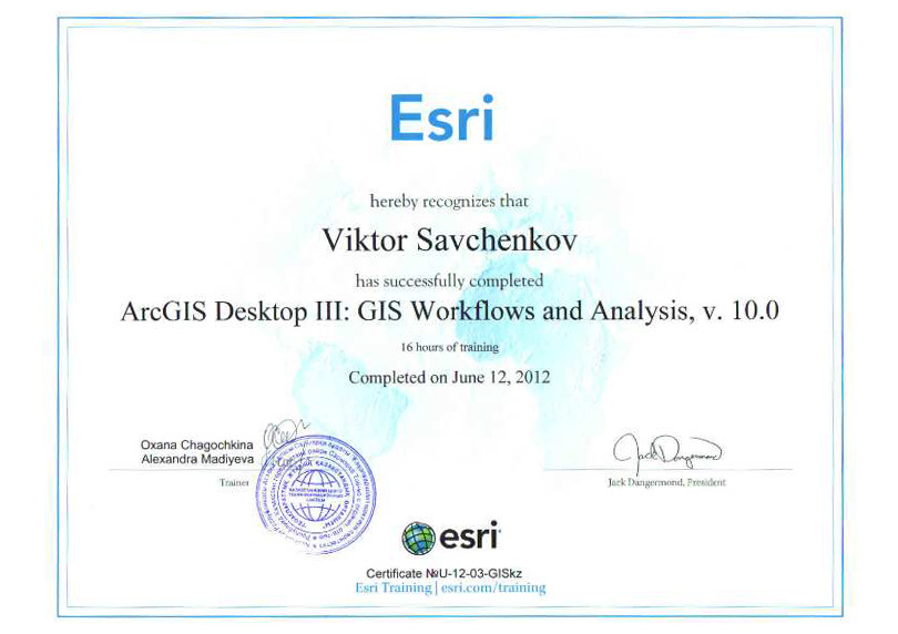
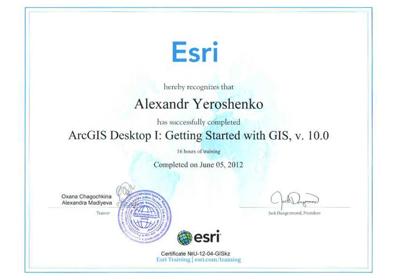
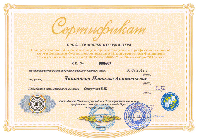
Our company employs GIS professionals with high skills and knowledge in the field of application programming, topographic surveying, mapping and  land surveying work. All employees are certified appraisal ESRI.

The company is constantly systematically train all employees to ensure the growth of their professional level and the purpose of the organization works to improve the quality of products and stimulate the staff for their work to improve the quality.

Tsymbal Vladimir Ivanovich
Director
He graduated from the Dnepropetrovsk State University majoring in "Radio Physics and Electronics" with the qualification of "Radiophysics". He has a certificate of completion "Oracle 9i DBA Fundamentals I"
Agapov Viktor Fedotovich
Head of Geodesy
He graduated from Tselinograd Agricultural Institute, majoring in "Land" with the qualification of "Engineer of Land".
Avnyakov Andrey Dinarovich
Surveyor
He graduated from Semey College of Geodesy and Cartography on specialty "Cartography" with the qualification "Technician cartographer".
Khannanov Rustem Rashitovich
Engineer surveyor
He graduated from the Karaganda State Technical University with a degree in "Geodesy and Cartography".
Savchenkov Viktor Vladimirovich
Head of Software Development
He graduated from the Karaganda State Technical University with a degree in "Computer Science and Software". Further training: courses of Introduction to ArcGIS 9.3
Yeroshenko Aleksandr Aleksandrovich
Lead programmer
He graduated from the Karaganda State Technical University with a degree in "Information Systems". He worked in the laboratory at the University research data to remote and inaccessible objects. Professional Development: ArcGIS 9.3, ArcGIS Javascript API
Rakhymbayeva Nazerke Imanbakhytovna
Project Manager
She graduated from Manchester University with a degree Bachelor of Computer Science. Also she graduated from Karaganda State Technical University with a degree Master of "Information Systems"
Gabdysalykov Arman Bakytuly
Programmer
He graduated from the Karaganda State Technical University with a degree in "Computer Science and Software".
Kapasov Meyir Kayratovich
Programmer
He graduated from Shakarim Semey State University on specialty "Automation and computerization in management systems".
Gaynetdinova Marina Irshatovna
Analyst tester
She graduated from the Karaganda State Technical University with a degree in "Information Systems". Further training course: "Introduction to Software Testing" (training in EPAM Systems)
Ibrasheva Anastasiya Sabirovna
Head of GIS
She graduated from the Karaganda State Technical University, majoring in "Software and hardware computer equipment and networks." Additional Education: Karaganda Economic University, specialty of  "Finance". Further training courses: Introduction to ArcGIS 9.3, ArcGIS Desktop v10.0
Ivakina Lidiya Yuriyevna
GIS-specialist
She graduated from the Karaganda State Technical University, majoring in "Automation and Control" (with honors). Further training courses: Introduction to ArcGIS 9.3, ArcGIS Desktop v10.0
Volkova Vera Mikhailovna
GIS-specialist
She graduated from the Karaganda State Technical University with specialty of "Computer Science and Software". Further training courses: ArcGIS Desktop v10.0; ArcGIS Desktop v10.2.1; Easy Trase Group «Vectoring maps and remote sensing data"
Abulkalikova Madina Yersainovna
GIS-specialist
She graduated from the Karaganda State Technical University with specialty of "Geodesy and mapping". Further training courses: ArcGIS Desktop v10.2.1
Kargapolov Yuriy Sergeyevich
GIS-specialist
He graduated from the Karaganda State Technical University with a degree in "Geodesy and mapping".
Savchenkova Natalya Vasilyevna
Technical Specialist
She graduated from the Karaganda State Technical University with a degree in "Computer Science and Software".
Danilova Natalya Anatolyevna
Chief Accountant
She graduated from the Karaganda State Technical University with a degree in "Power." Second Higher Education: Karaganda Financial Institute, specialty "Accounting and Auditing". Certified Accounting Practitioner (certificate CAP).

Key events

Clients and Partners

We seek to build mutually beneficial relationships with customers and consumers on the basis of trust and partnership, and to enhance customer satisfaction through the effective application of processes for continual improvement of the system.
Министерство национальной экономики Республики Казахстан
Министерство обороны Республики Казахстан EN
Комитет по делам строительства, ЖКХ и управления земельными ресурсами МНЭ РК
Комитет национальной безопасности Республики Казахстан
Компания Esri CIS
Компания «ДАТА+»
Компания «Совзонд»
Компания Leica Geosystems
РГП «Республиканский центр государственного градостроительного планирования и кадастра» МНЭ РК
ГУ «Управление архитектуры и градостроительства Кызылординской области»
ГУ «Управление природных ресурсов и регулирования природопользования Акмолинской области»
АО «КазНИИСА» Министерства национальной экономики Республики Казахстан

Services

Our company implements high-quality services in accordance with applicable international, national and local laws and corporate requirements.<br>
Main activities:
Topographic, geodesy, mapping and land surveyor works
Engineering and surveying services, including topographic works for design and construction. With the help of surveying implement transferring from paper into nature with millimeter accuracy projects of buildings and structures, calculating the amount of materials and controlling for compliance with the geometric parameters of structures. Services for digitizing maps: scanning, vectorization, data analysis and visualization.
Developing automated information inventory system
Maintenance of the urban cadastre is an integral part of monitoring under construction (planned for construction) objects and complexes. It is also, observing systems of state and changes of architectural, urban planning and construction activities of objects on the territory of the Republic of Kazakhstan.
Software development
The main activity of our company is to design and implement the software using GIS technology. Application of GIS technology allows you to combine large volumes of cartographic and thematic information in a single system, and thus create a coherent framework for the analysis of the available data and received information.
Project activities
When designing the planning documentation of the use of GIS technology is the adoption of science-based, demonstrable project proposals. The designed system increases the efficiency of tasks, simplifies and speeds up work on making management decisions.

Contact Information

Dear clients and visitors, you can send us an e-mail or use this form and we will contact you.

Our address:
Kazakhstan, 100000, Karaganda,
pr. Buhar-Zhyrau 58 / 61

+7 (7212) 42-43-09
too_geoinfo@mail.ru
info@geoinfo.kz